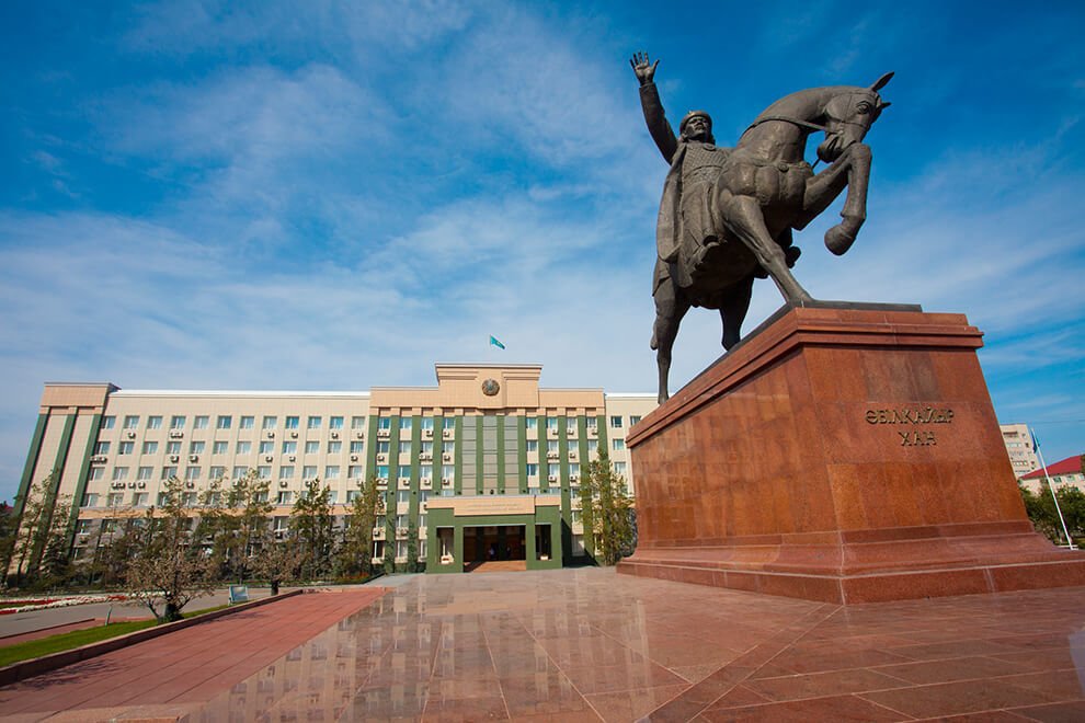
About the region
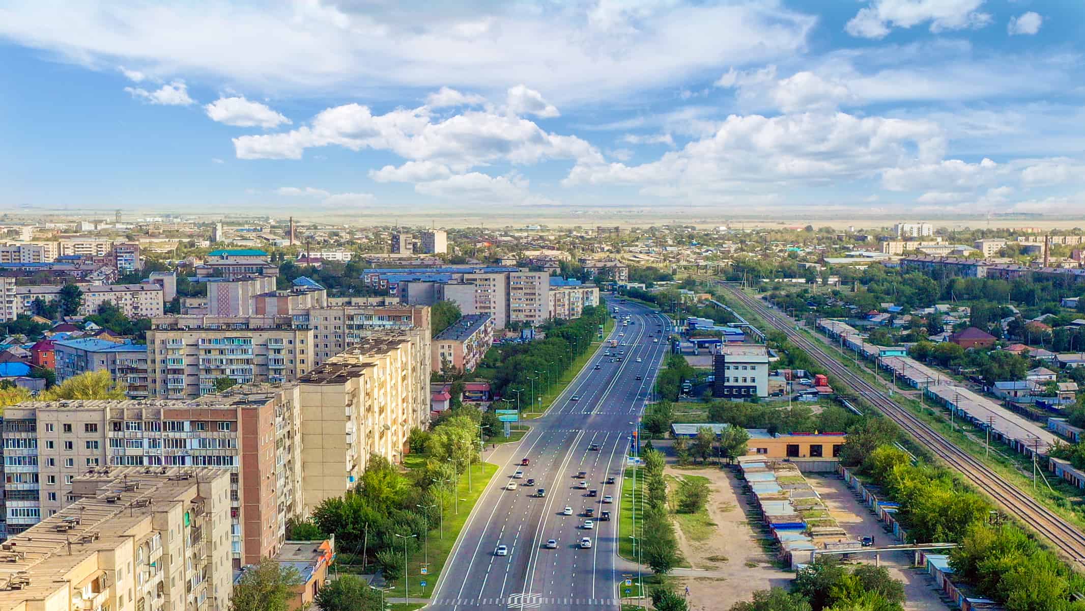
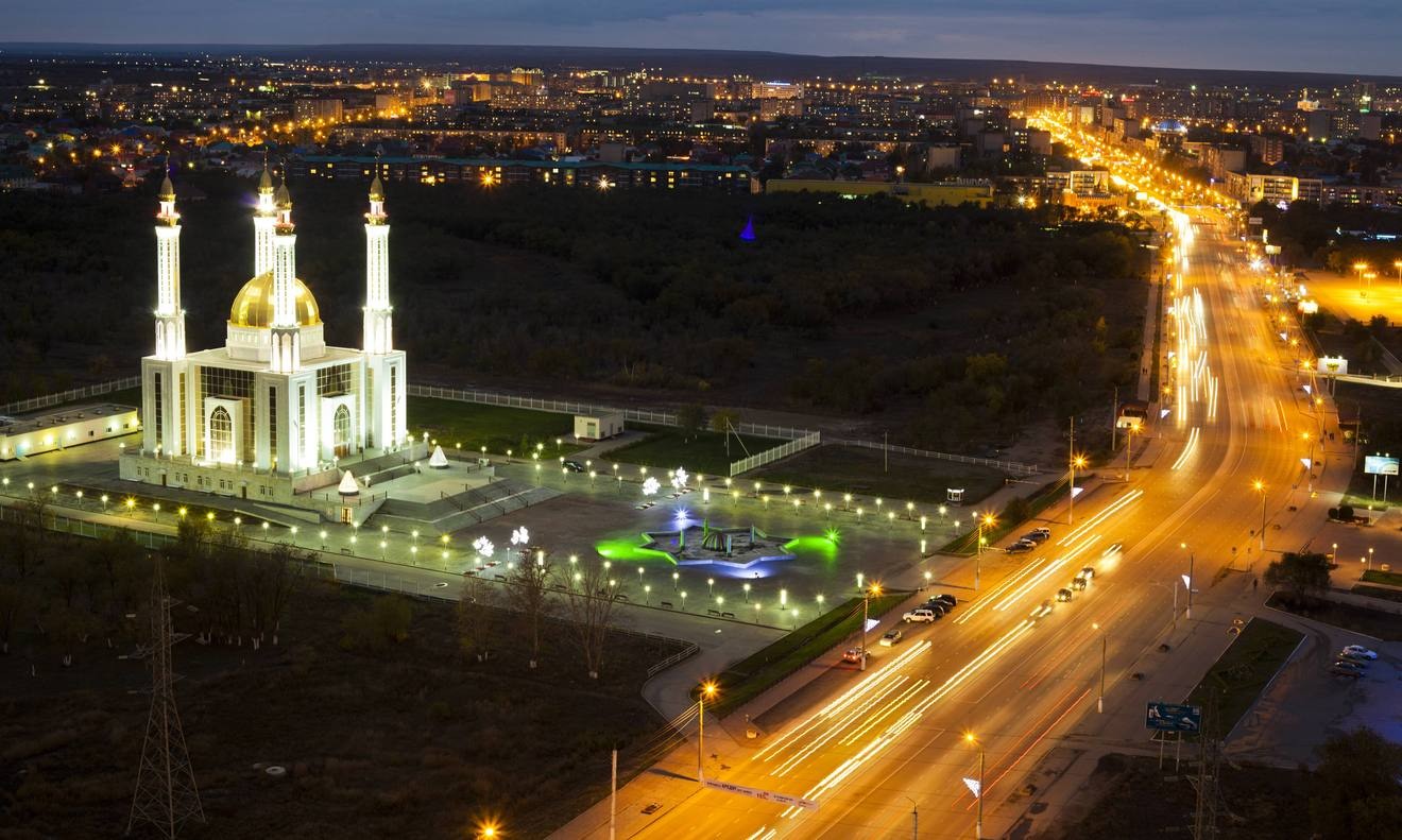
Aktobe region nowadays
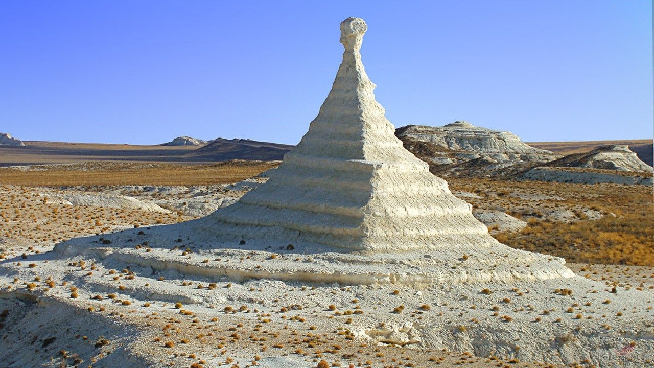
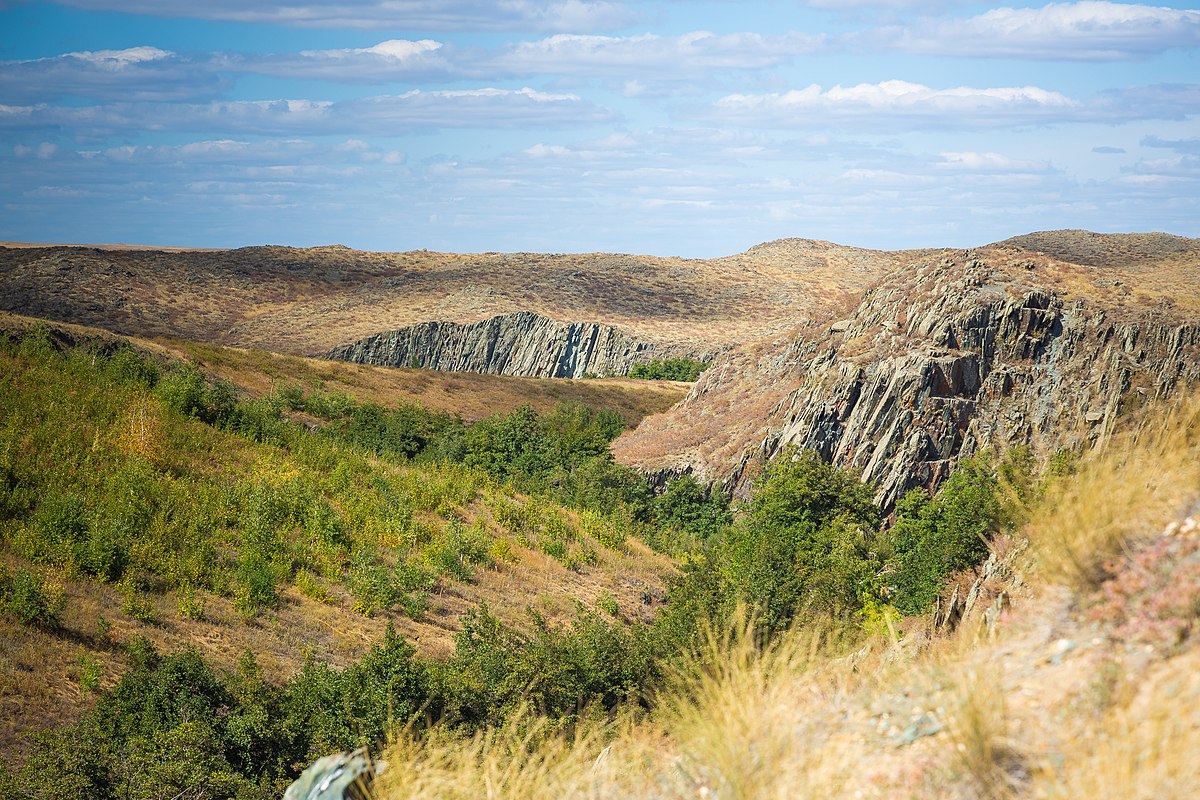
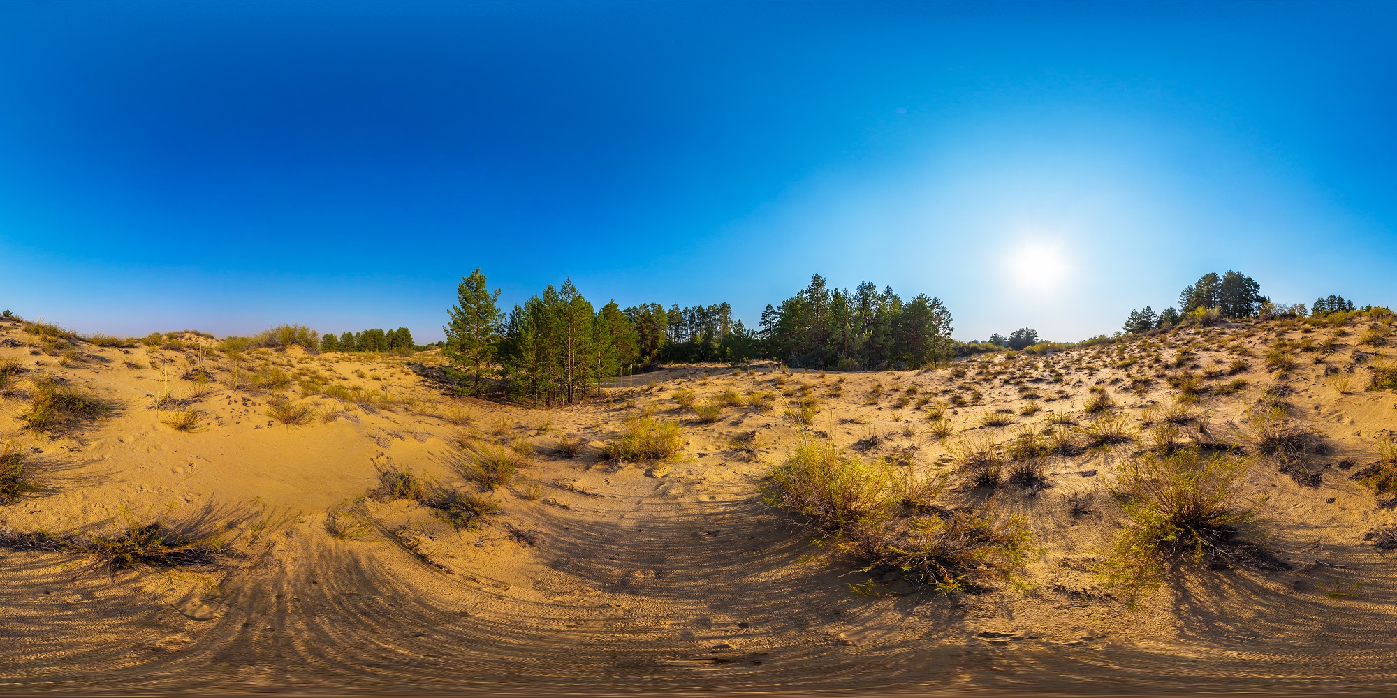
Aktobe region, the largest administrative unit of the West Kazakhstan region, Located in the north-west of the Republic of Kazakhstan, it stretches from the Ulkeika Valley in the east to Kila in the west. It stretches about 800 km from east to west and 700 km from north to south, and covers a total area of about 300 thousand square kilometers.
Today, Aktobe region borders Atyrau and West Kazakhstan regions in the west, and the north with Orenburg region of the Russian Federation, in the northeast with Kostanay region, in the east and in the south-east with the Karaganda and Kyzylorda regions, in the south with the Karakalpak Autonomous region (Republic of Uzbekistan).
There are 8 cities in the region (Aktobe, Alga, Zhem, Kandyagash, Temir, Khromtau, Shalkar, Emba), 4 villages urban like.

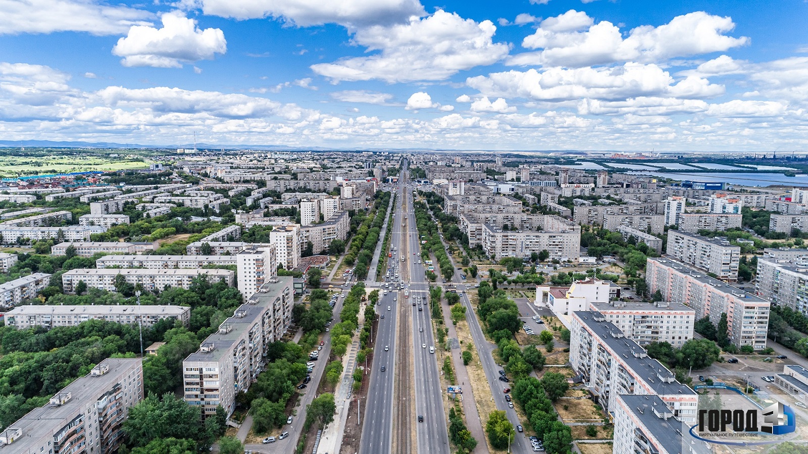
The region is divided into 12 districts and 1 city of regional subordination.
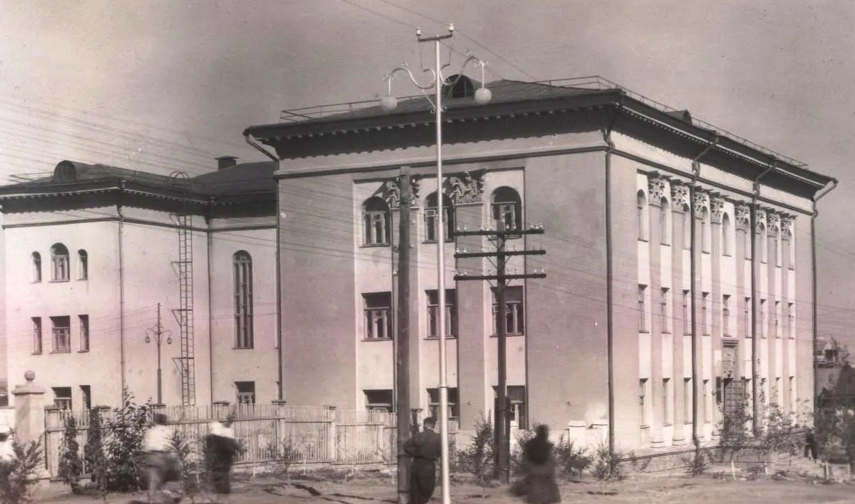
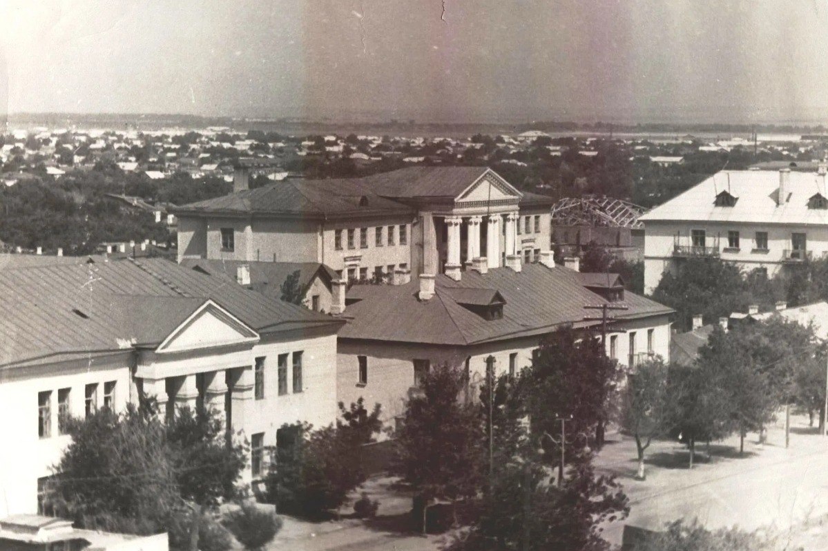
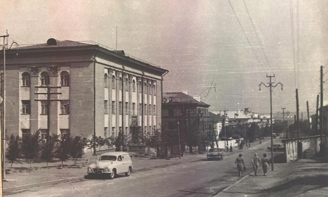
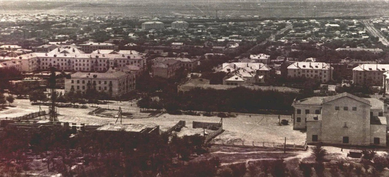
History
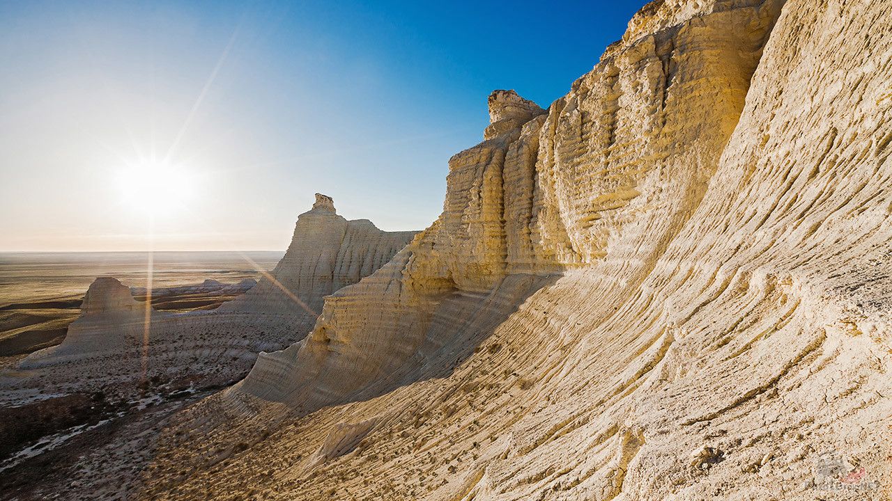
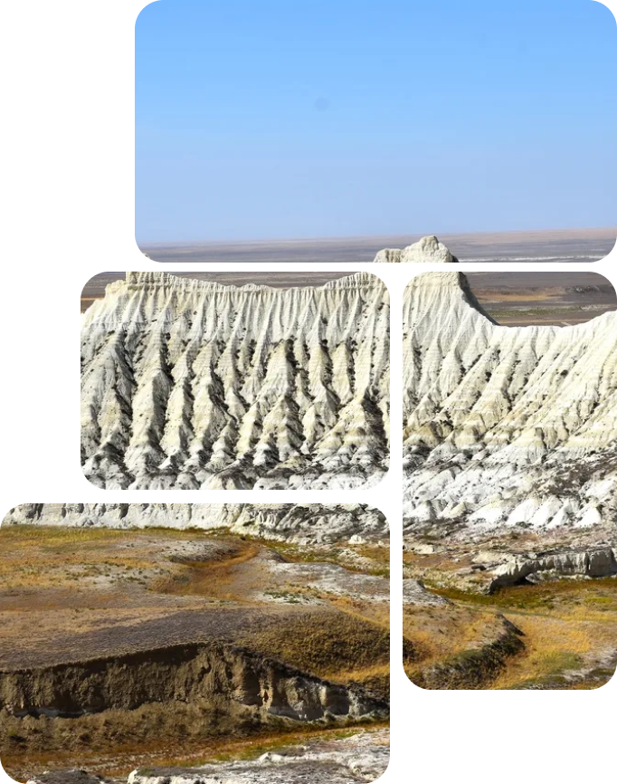
Historically, Aktobe region was formed and developed as a border region standing at the junction Europe and Asia, at the junction of cultures, and this has largely determined the uniqueness of our region as multinational, a multicultural and multi-confessional region. The peculiarities of the region are also determined by the fact that, according to its territories Significant migration flows (trade routes, caravan routes) have been taking place since ancient times., Conquering campaigns, migration of peoples, etc.), where they consolidated in the maelstrom of the historical movement, mixed up, clans and tribes assimilated, cultures and ethnic groups interacted.